Readers of FATC trip reports have enjoyed several stories about the good fishing on the Spring River just across the Arkansas border.
There have been at least a dozen reports about excursions to the Spring since 11/21. Many of those trips were coordinated by Dan Staggenborg. And I, Al Harper, consider myself lucky to have been among those venturing down there a few times.
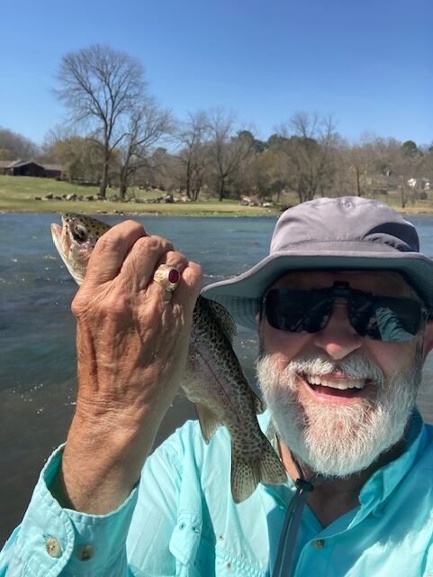
I wanted to write here about a recent solo effort I undertook on one of the warmest days of our current springtime on 3/20/26.
I thought this report might be helpful not only because my float was very productive but also because it occurred on a section of the Spring that isn’t often floated. Also, fishing on the Spring has been affected by a natural event there a year ago.
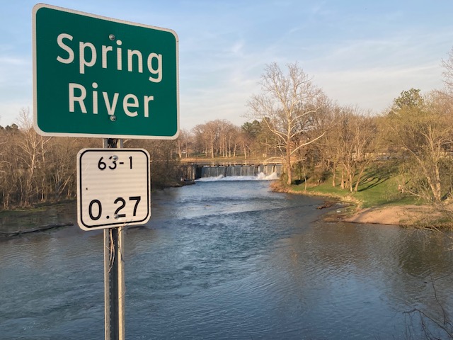
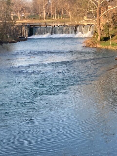
One thing to understand is that the Spring River is segmented by the Jim Hinkle Hatchery at what is labeled as Dam Three on maps. Actually, there aren’t really dams on the river but there are spillways or low-head weirs. They help control the river’s flow and augment the hatchery operations, but they don’t form a lake or reservoir. On the upper section, “Dam” one is very prominent and water cascades over the spillway at a small power generating plant dating back to 1927. “Dam” two is hardly perceptible as a manmade structure and one floats over it about one half mile downstream from the spring almost without noticing. But “dam” three at the Hinkle hatchery mentioned earlier must be portaged, which I actually did once. It is a high spillway that again oxygenates the water. And some quantity of the water is diverted for the hatchery. Fish downstream from the hatchery can’t migrate upstream and both the upper section and the stretch of the Spring River below dam three are separatly stocked with trout.
The river below dam three is by far the most popular entry point for most anglers and for party floaters. But although it’s only one mile in length, the upper Spring River offers some unique fishing opportunities.
For instance, about 100 yards down from the spillway at the old power generation station, I often find trout pooled up in a deep section. Here the water is the coldest and well aerated after plunging down the formidable spillway. It acts as a magnet to fish on this upper section. I’ve always found them here and this time was no exception. A streamer that had been allowed to sink a few feet and then retrieved among boulders and submerged cover was productive.
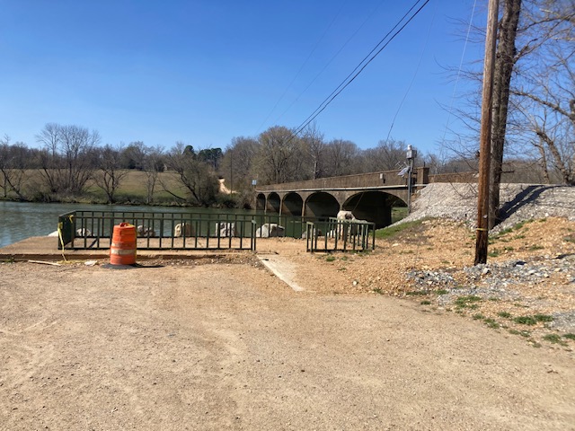
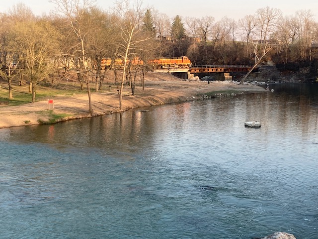
Here’s something that has impacted fishing on the Spring: The first week of April 2025 the Spring River experienced historic flooding which took out the Burlington Northern railroad bridge near the spillway (or “dam one” as maps proclaim it). Nearby Warm Fork Spring River — a feeder creek that merges below the spring itself intensified things. Flood damage resulted in low lying spots for many miles downstream. Debris is still visible along the river’s banks and many new hazards were created underwater as well.
The Jim Hinkle hatchery was hard hit by that flooding and large numbers of its fish were swept into the river. The Spring flood caused a one-time super stocking event similar to drastic flooding in two Missouri hatcheries back in 11/24. Surveys after the Spring flooding indicated there were four times the normal number of fish in the river. Knowledgeable sources say the lost fish departed at Dam 3 and entered the river downstream and could not make their way upstream.
As a result, there was a reduction in stocking for months after the flood as hatcheries recovered. Now almost a year later, fishing is still very good on the Spring below and above Dam 3.
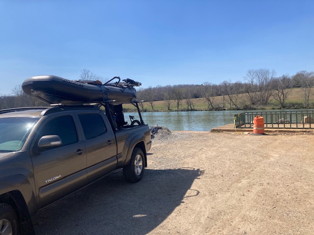
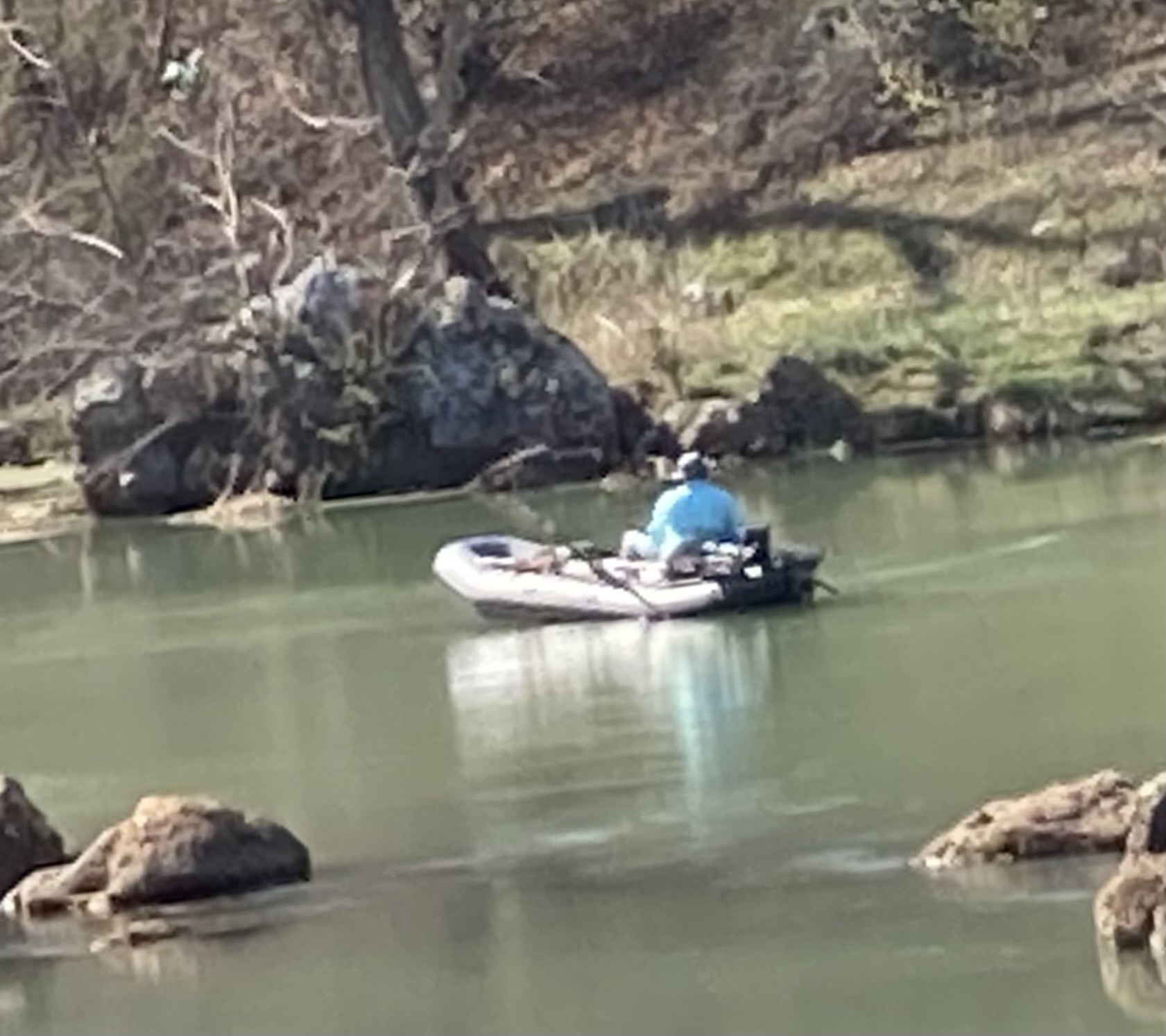
As mentioned, my excursion days ago was above the hatchery. I fished streamers for about six hours and the action was nonstop. While there are a few places to get out and wade fish on this upper section, I remained in my driftboat because of the difficulty in wading the fast current and long wades to get to the best spots. A constant 9 million gallons an hour flows from the spring and trout were in or just off to the side of that robust flow during my float.
I had great success casting streamers at 45 degree angles and stripping them back against the current. I found the right depth thanks to an intermediate sinking line on a six weight rod.
Trout were active and hungry throughout that section of the river but the most frenetic activity was above and just below the Lassiter public walk-in wade fishing area. The best spots were swift holes ranging in depth from 3 to 5’. I’d quietly float down to a likely spot, anchor and stand up to apprise the water ahead. Casting far downstream and weaving the streamer back among rocks and boulders and open avenues devoid of moss and vegetation really paid off.
It must have been the warmer weather (sunny with temps reaching 86) because the trout struck with an intensity that had me gripping my rod tightly.
My best fish was a 19” bow but fighting these fish against the current from an anchored boat made each one feel pretty hefty and there were many that managed to throw my hook since I didn’t have a net man along. Still, I managed to net 38 on my own.
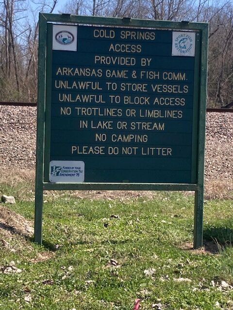
I took out at Cold Springs Access, which is being rebuilt after the flooding. In one accompanying photo, a locomotive can be seen crossing the trestle at the spots where it was destroyed last year.